Blog Editor’s Note: The below is the latest announcement from South Korea on its efforts to establish a sovereign and resilient PNT system. It builds on other releases we have passed along previously. See for example here and here.
Notice the “advantage” South Korea has of a belligerent, not-at-all-subtle enemy. Our adversaries only jam GPS in areas outside the United States (as far as we know) so we are not nearly as concerned. Hence we are far more vulnerable and at risk than South Korea. We are at risk from Russia, China, sophisticated terrorists, human error, solar activity…the list goes on.
If only we had better enemies!

Terrestrial navigation system ready for use in S. Korea to cope with jamming and electric warfare
Lim Chang-won Reporter([email protected]) | Posted : April 1, 2021, 10:17 | Updated : April 1, 2021, 10:17
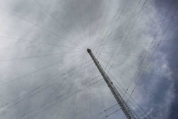
SEOUL — To cope with unexpected interference such as North Korea’s electric warfare, South Korea will launch an uninterrupted positioning navigation service based on radio waves from ground transmitters instead of satellites, starting with a pilot project in June for coastguard vessels and state patrol boats operating in volatile border areas off the west coast.
South Korea began developing a terrestrial navigation system that can provide Positioning navigation timing (PNT) information reliably by utilizing transmission towers on the ground in 2016 after North Korea discharged strong electric waves for systematic cross-border electric warfare. The electric wave attack caused no visible damage, but Seoul condemned it as a serious provocation.
PNT information, which is essential for industry and daily life, relies on the U.S. global positioning system (GPS). With multiple disruption tools, North Korea has occasionally jammed GPS communications in South Korea. Seoul regards GPS disruptions as a new form of North Korea’s low-level, asymmetric provocation.
In a statement published on March 31, the Seoul government announced the commercialization of an enhanced long-range navigation (eLoran) system that provides precise visual information and calculates location by measuring the time reached by radio waves from three or more transmitters.
A pilot service will be launched on June 1, with coastguard vessels and patrol boats operating in maritime border areas to receive eLoran receivers. The service will be expanded to fishing boats and merchant ships. For a nationwide service, South Korea will establish a cooperative system with broadcasting, information and communication sectors to provide precise standard-time information and expand it to other industries to prevent disruptions in national infrastructure even when GPS is suspended.


