



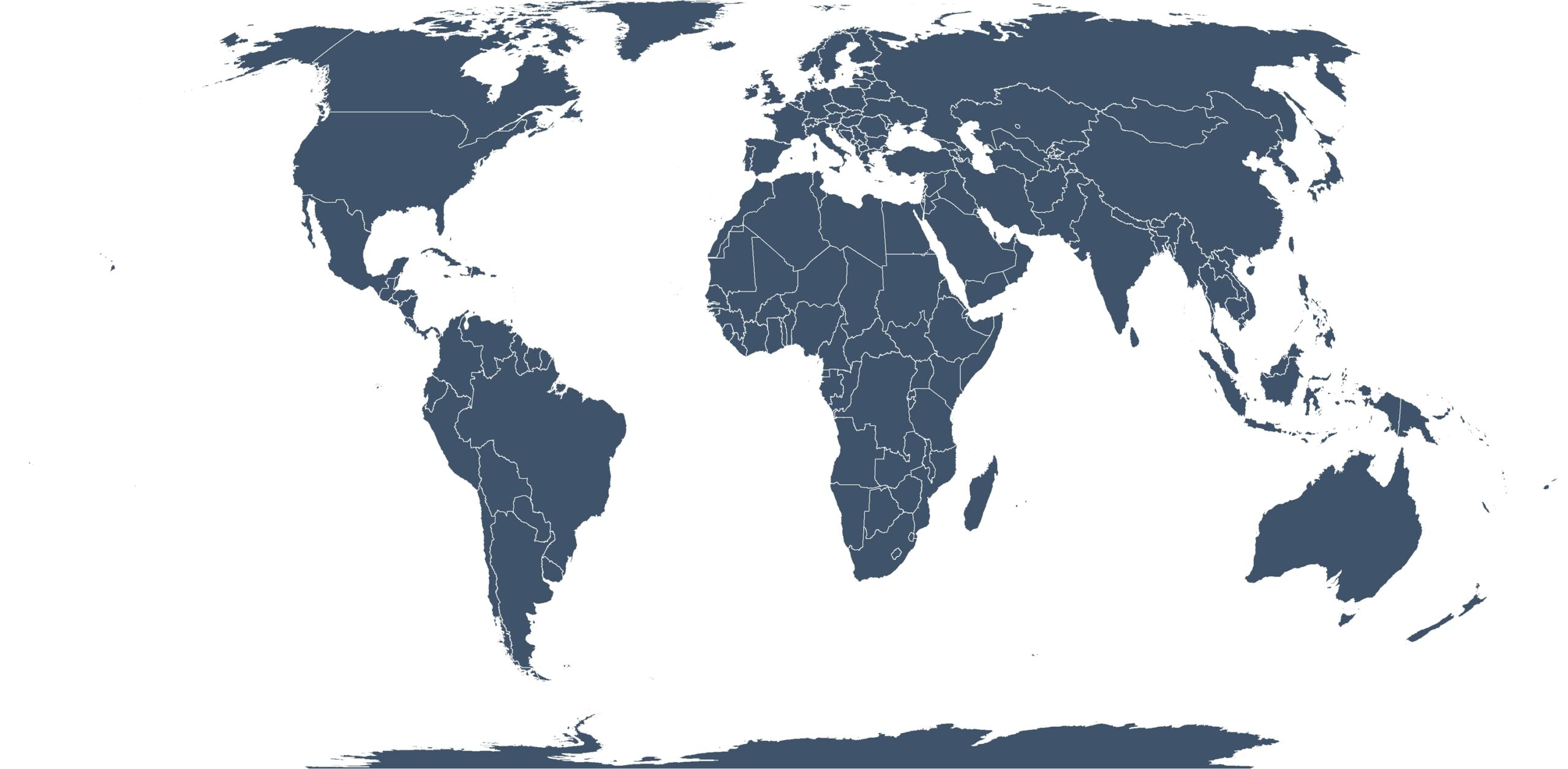
Image: Equal Earth projection showing land masses in correct proportion (Shutterstock)
What’s new: A greatly improved method of making the round-earth flat for precise navigation. It is being shopped around by KeplerKoord.
Why it’s important:
- Most navigation coordinate frames rely on GNSS and large areas.
- For GNSS denied or limited areas (e.g. underground mines, tunnels, densely populated urban areas, indoor industrial facilities, high latitude) most navigation systems depend on combinations of GNSS, INS, SLAM, radar, and local Cartesian coordinate systems.
- Maintaining a consistent spatial frame across different sensors, operational areas, and environments without GNSS coverage is a challenge. Local systems can accumulate drift, conventional map projections introduce scale and geometric distortions, and transitions between local and global reference frames create interoperability issues.
- The challenge is amplified with autonomous vehicles, robotics, digital twins, and AI-based systems trying to share accurate and consistent spatial information in real time.
What else to know:
- This problem in some sense has been around for a long time, but not as important. Great circle routes have always been the shortest, but for centuries mariners sailed rhumb lines because it was much simpler and all they had were flat Mercator-projection maps.
- We understand KeplerKoord is engaged with the U.S. Foreign Comparative Testing program and the U.S. Space Force.
- This is very much “deep geodesy,” and far beyond our area of expertise and experience. If you want more here are some links: