Editor’s Notes:
Experts have observed that the jamming described below was very sophisticated in that it jammed only the US GPS satellite navigation system. The Russian GLONASS satellite navigation system uses a frequency very close to that of GPS but was unaffected.
We only found this story posted on the site of Norway Public Broadcasting and in Norwegian. The following is how Google Translate converted it into English.
Noise from Russia discontinued GPS signals for Norwegian aircraft
For a week, the Widerøe and SAS airplanes had to do without GPS signals at the airports in East Finnmark. It happened at the same time that the Russians prepared the greatest military exercise for many years.
In advance it was expected that the Russians would also practice electronic warfare during the Zapad exercise in September.
The defense can not confirm that jamming was the reason that the GPS signal dropped out, but the National Communications Authority has repeatedly made measurements in the Kirkenes area that show that the disturbance came from the east.
Trouble from Kirkenes to Berlevåg
Widerøe says to NRK that their aircraft experienced the GPS signal falling out between Kirkenes and Berlevåg from 7 September. According to Avinor, disturbances are reported to West west to Alta.
Widerøe contacted the Norwegian Space Center early, which ruled out that the prolonged disturbances could be caused by solar storms.
“It was stable over time. Avinor suspended the GPS approach during the period, says Communications Director Silje Brandvoll in Widerøe. She does not know that their aircraft have experienced something similar in the past.
Come from Russia
“It’s hard to say what the source is, but we measured from a helicopter and found the eastern direction from where we were,” says John-Eivind Velure, Director of the National Communications Authority.

East of Kirkenes is known as Russian territory. Velure will not wonder what is the origin of the noise signal, which was confirmed by repeated measurements from helicopter on Friday, September 15th.
“Noise may be generated by accidental radiation due to equipment incorrect, but it may also be a noise signal designed to interfere with what we usually call jamming. We have not answered that, “Velure told NRK.
Electronic war
However, military analysts have determined that electronic warfare would be part of the Zapad exercise, which formally started September 14, but actually took a few days earlier. The exercise stretched across large areas from Belarus to the Kolahalvøya near the border with Norway.
“Russians want to use drones in intelligence and monitoring, in addition to electronic warfare, analyst Samuel Bendett said to RealClarDefence.com website before the exercise.
Bendett works for the think tank CNA, funded by the US defense.
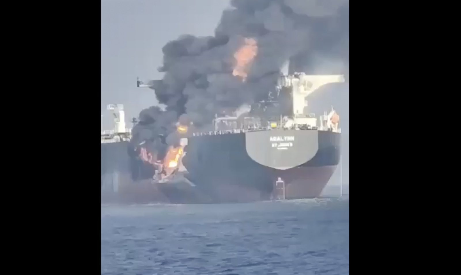
A more advanced GPS manipulation was carried out in June, when 20 ships in the Black Sea received fake signals . Thus, they obtained positions with deviations of up to 47 kilometers. Russian authorities are suspected of being guilty.
Ivar Moen, Lieutenant Colonel and spokesman at the Armed Forces Operational Headquarters, said they followed the Zapad exercise closely. According to Moen, they have no indication that the Russians “jammed against Norway”. He does not want to wonder more about what may be behind the noise signals.
Never at risk
Both Widerøe and SAS emphasize to NRK that the noise signal never gave any dangerous situations because they use multiple navigation aids in parallel.
Widerøe writes to the Civil Aviation Authority that the case shows how important it is to take care of conventional navigation systems, so that you always have something to fall back on if your GPS is put out of play.
Editor’s Follow-on Note: Airlines and private pilots in the US often strongly resist US military exercises that will disrupt GPS reception. While aircraft are able to navigate safety without GPS, such flights tend to be longer, consume more fuel and impose a higher workload on the crew. Also, many services in the cockpit and cabin rely upon GPS location and time information and can be interrupted. Drones are especially impacted because they typically rely entirely on GPS for navigation and are not able to operate during a disruption.