Image: Shutterstock
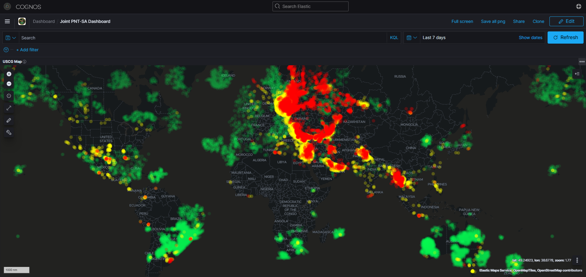
What’s new: An article, focusing on maritime, about using data fusion to help overcome spoofing.
Why its important:
- “The prudent navigator will use all means available to determine their position” – long standing maritime adage incorporated into Rule 7 of the Law of the Sea Treaty
- New IT tools have given this new meaning.
What else to know:
- The article focuses a lot on what some might call ‘sensor fusion.’
- Other types of data might be useful as well, especially for developing SA, COP, and collision avoidance. It would be interesting to read an article that took a more expansive view.
![]()
Addressing the Escalation in GNSS Spoofing with Data Fusion
Note: GNSS refers to any Global Navigation Satellite System. There are several satellite constellations in use around the world that provide independent positioning estimates including GPS, Galileo, BeiDou and GLONASS.
Escalating GNSS Jamming Risk