Image: Shutterstock
Blog Editor’s Note: Another example of how GNSS has connected so many incredibly disparate things in unexpected ways.
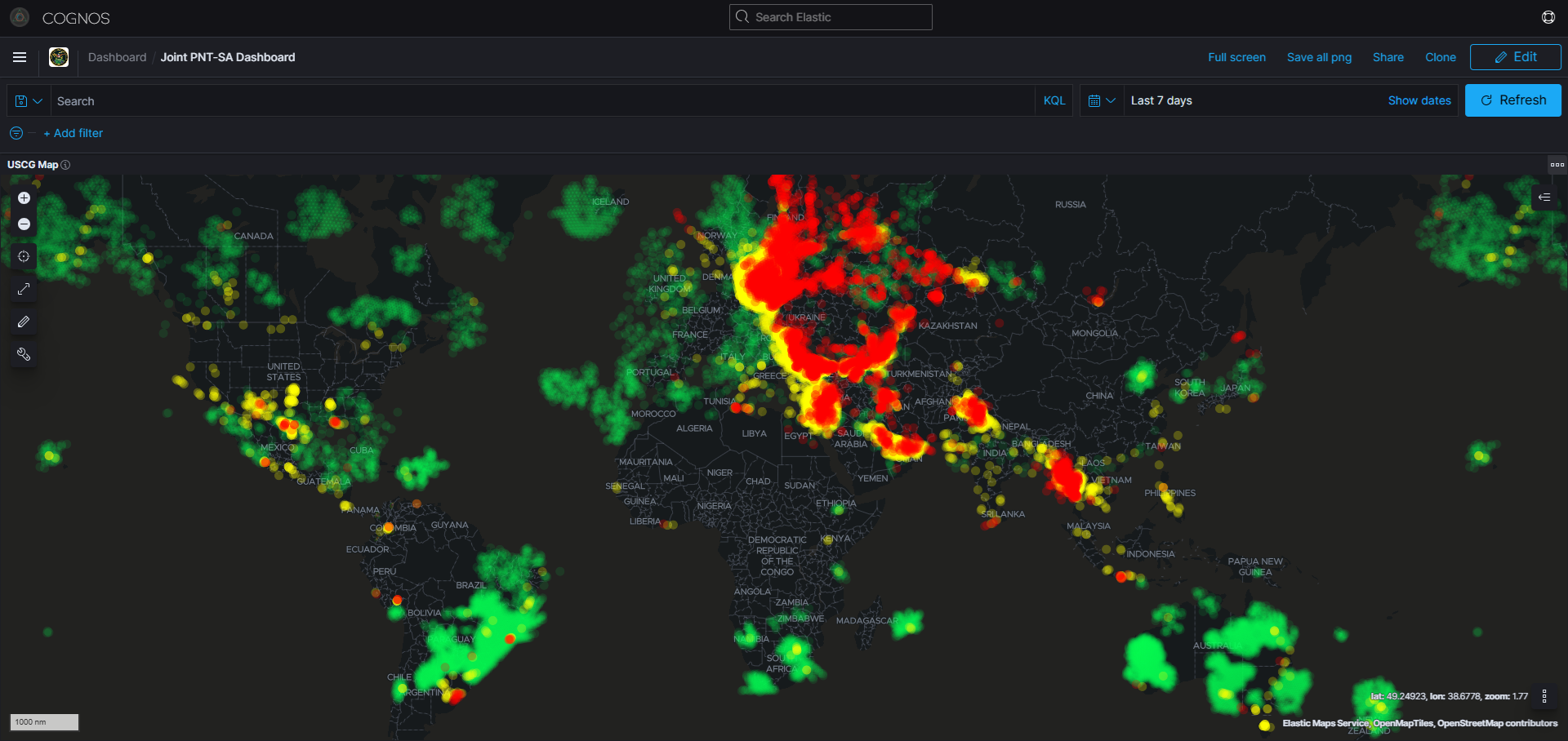
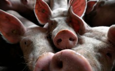
Start with swine flu. Add greed, the price of pork, extortion, drones, GPS vulnerability, and counter-drones. You get compromised air safety. Maybe an accident.
How does navigation resilience, or the lack thereof, play into this? How would better protecting the frequencies, toughening receivers, and augmenting GPS/GNSS with powerful terrestrial signals have changed the story for each of the players?

China flight systems jammed by pig farm’s African swine fever defences
- Reports of criminal gangs using drones to spread infection led to installation of jamming device
- Unauthorised equipment interfered with navigation systems of planes flying overhead

Mandy Zuo in Shanghai
A Chinese pig farm’s attempt to ward off drones – said to be spreading African swine fever – jammed the navigation systems of a number of planes flying overhead.
The farm, in northeastern China, was ordered last month to turn in an unauthorised anti-drone device installed to prevent criminal gangs dropping items infected with the disease, according to online news portal Thepaper.cn.
The device came to light after a series of flights to and from Harbin airport complained about losing GPS signals while flying over Zhaozhou county in Heilongjiang in late October. In some cases, the ADS-B tracking technology – which determines an aircraft’s position via satellite navigation – failed.
A check on radio blockers in the area identified the farm and its owner, Heilongjiang Dabeinong Agriculture & Pastoral Foods, was ordered to turn in the equipment. No further punishment was imposed, Thepaper.cn reported. The company declined a request for comment.
Chinese state media reported last week that gangs were exploiting the African swine fever crisis by deliberately spreading the disease by using drones to drop infected items on to pig farms. The farmers are then forced to sell meat cheaply to the gangs, who then sell it on as healthy stock, according to China Comment magazine, which is affiliated to state news agency Xinhua.