The RNT Foundation is a public benefit scientific and educational charity, 501(c)3
Protect the Frequencies – By preventing interference
Toughen Receivers – With readily available technology
Augment Services – With difficult to disrupt terrestrial signals
What to do? Some recommendations.

eNewsletter Archives
From Our Blog
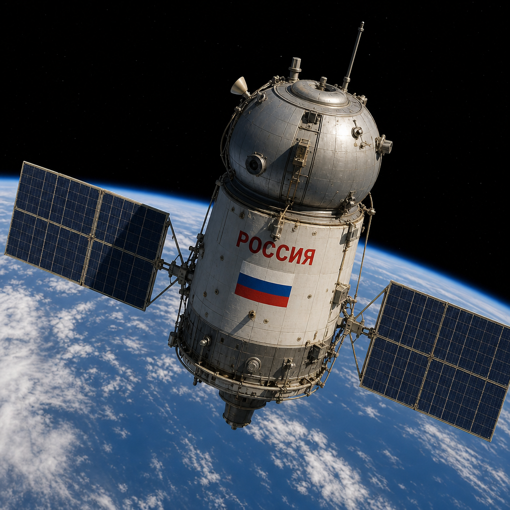
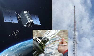
Help GPS resiliency against Russia with this one simple change – Breaking Defense
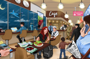
Image: Copilot AI What’s new: An opinion piece by the former Commander, USAF Space Command, Gen. William Shelton (ret). Why it’s important: It has recently become public knowledge that Russia can interfere with GPS (and Bei Dou) from space across broad sections of the…
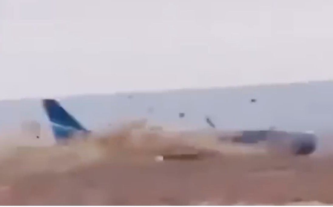
ICAO Cites Threats to Civil Aircraft fm GNSS Disruption – again
Image: Youtube – Fatal Azerbaijan Air crash after being shot at by Russian forces due to GPS jamming and no ADS-B identification What’s new: The Secretary General of the International Civil Aviation Organization addressed the World Overflight Risk…

UK MOD moving on eLoran
Image: Copilot AI What’s new: We understand the UK Ministry of Defence (MOD) recently awarded a contract to a UK-led team to create a deployable PNT solution based on eLoran to be delivered over the next two years. The intent is that, once delivered, the system…
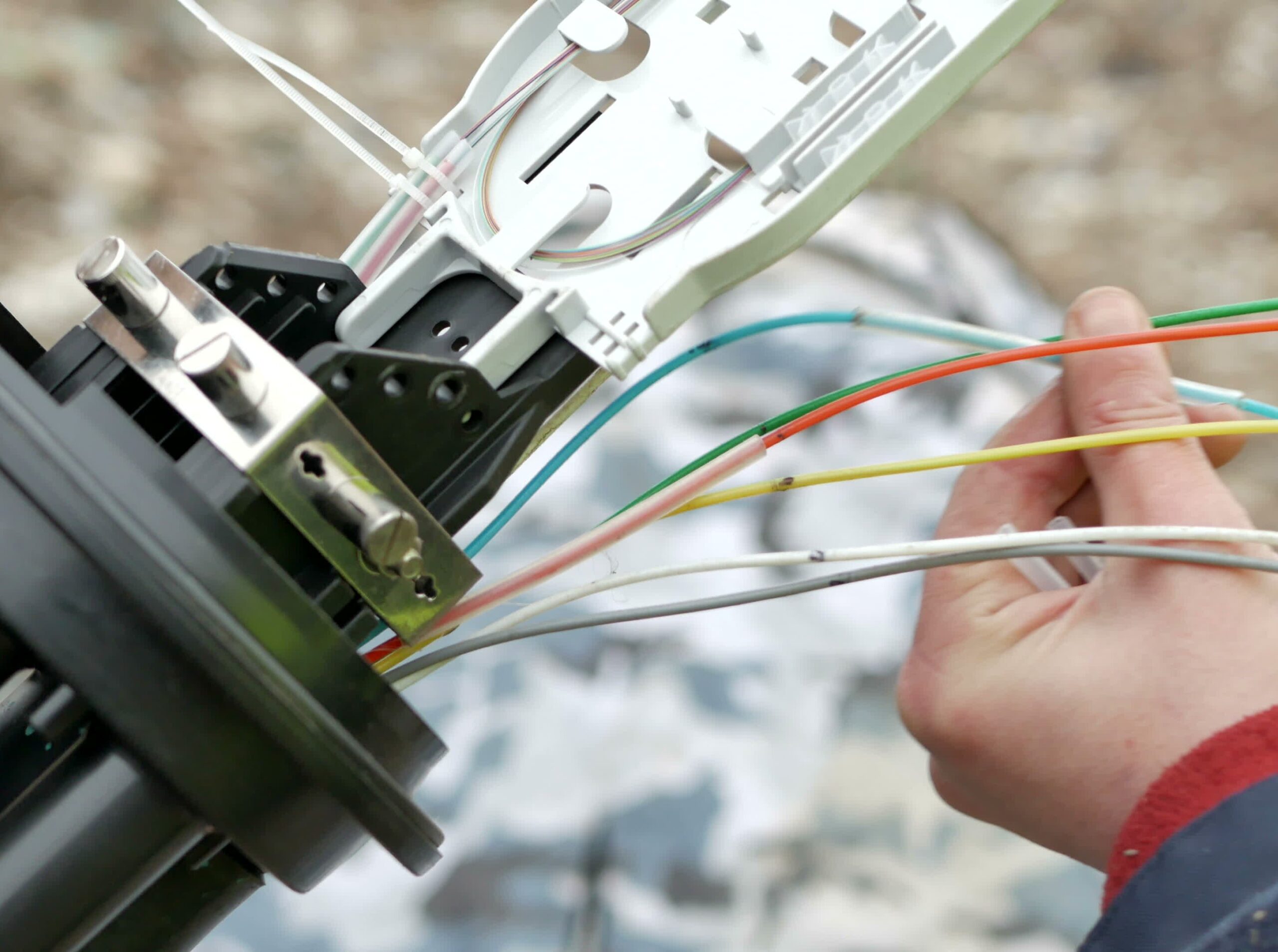
U.S. DHS looking for long haul fiber precise time tech & pilot project
Image: Shutterstock What’s new: A request for information (RFI) from DHS about GNSS-independent, long haul fiber, precise time. Why it’s important: Time and timing, of course, are really important. Of P, N, & T, timing is the one ring that rules them…
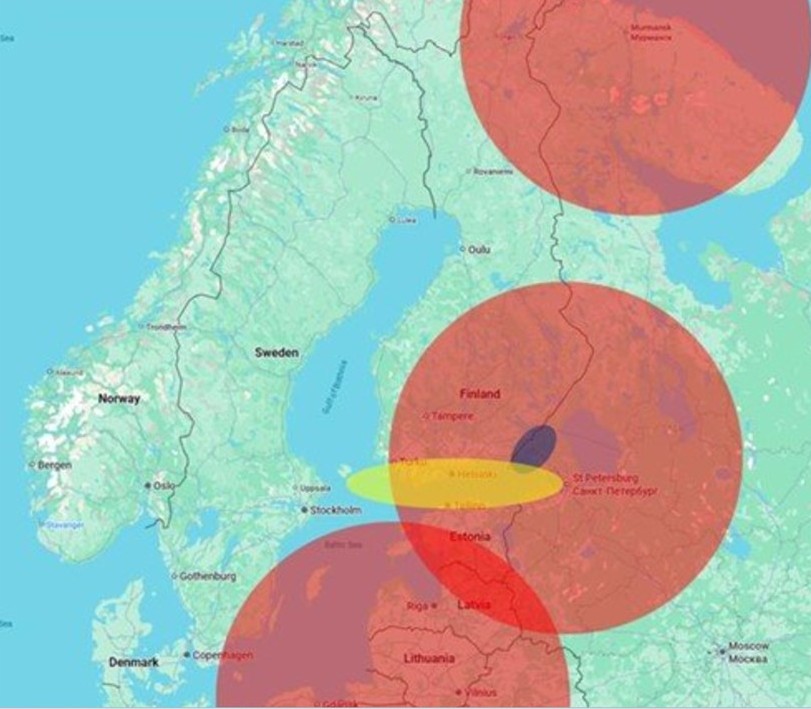
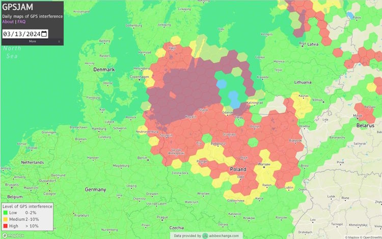
Finland – ‘Cellular also impacted by interference’
Image: Traficom What’s new: Finland reporting aviation, maritime, and cellular impacts from GNSS interference. Why it’s important: The report show the different impacts of line-of-sight signals on users. Regardless of the differences, there are impacts,…
