



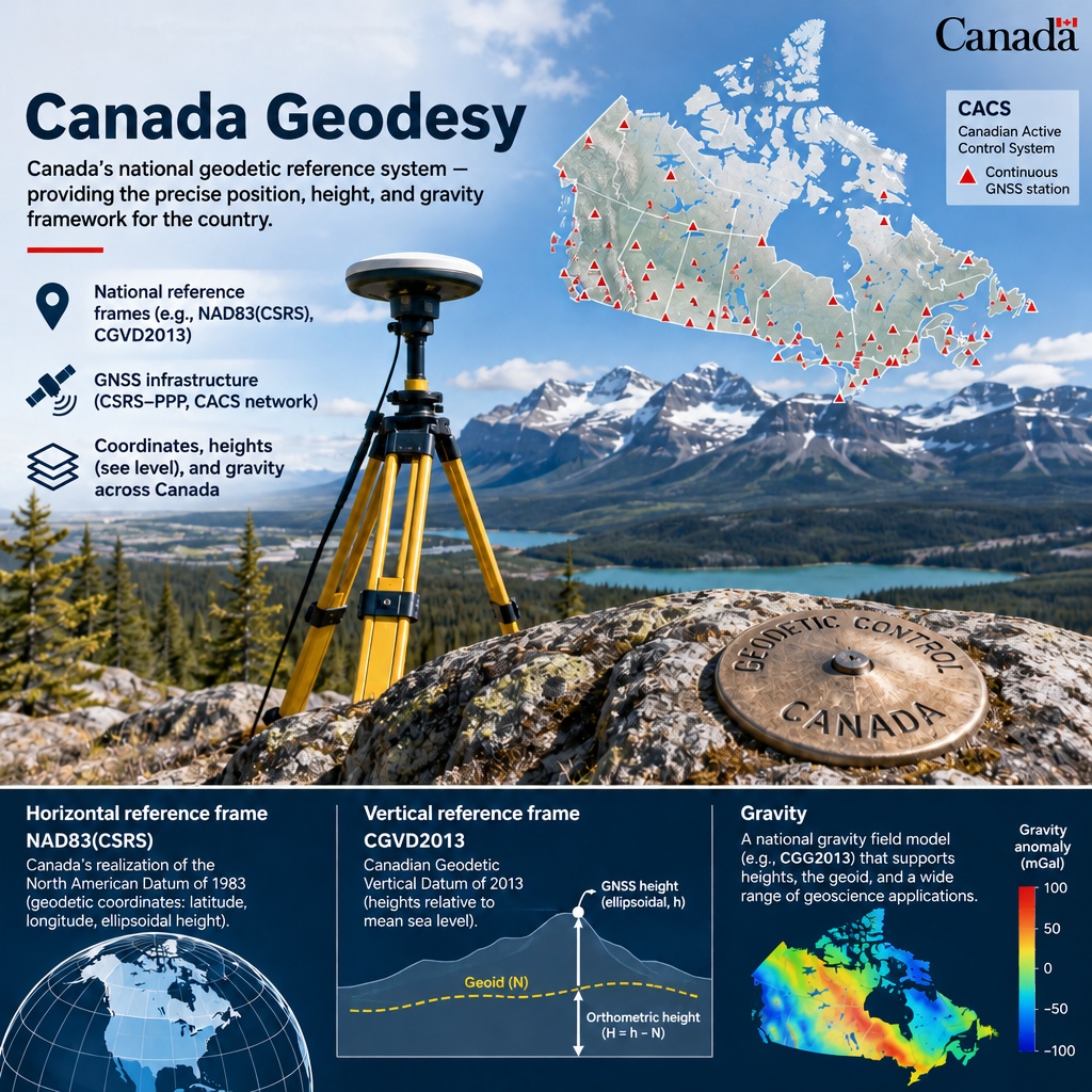
image: Shutterstock AI
Blog editor’s note: Today’s guest post is authored by our Canadian colleague, Dr. Denis Hains – thanks Denis!
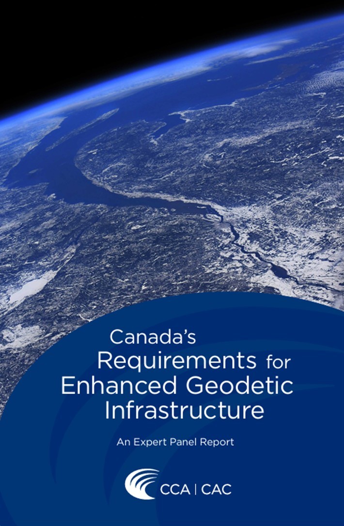
What’s new? – On November 19, 2026, the Council of Canadian Academies (CCA) released a public report highlighting significant gaps in Canada’s geodetic infrastructure and the risks they pose to Canada’s ambitions for Arctic sovereignty, major projects and climate adaptation. – The CCA brings together leading Canadian and international experts to assess complex scientific issues of public interest and inform decision-making in Canada.
What’s important?
- Geodetic infrastructure provides the essential reference framework for accurately and precisely determining where we are, where we are going and when, it is essential for PNT.
- It relies on a combination of key technologies and capabilities, including:
- Very Long Baseline Interferometry (VLBI)
- Satellite Laser Ranging (SLR)
- Doppler Orbitography and Radiopositioning Integrated by Satellite (DORIS)
- Global Navigation Satellite Systems (GNSS)
- Gravity in situ and satellite measurements
- Together, these capabilities support the global, continental and national reference systems essential to modern positioning, navigation and timing (PNT).
Why does it matter? – Canada is the world’s second-largest country by land area and has an extensive Arctic territory. Yet, significant gaps remain in its geodetic infrastructure.
- Canada currently has no operational VLBI or SLR stations contributing to the global reference frame solutions. In addition, GNSS Active Control Stations across Northern Canada and the Canadian Arctic Archipelago remain sparse and insufficient.
- These gaps limit Canada’s ability to accurately measure, understand and represent our territory, increasing risks to the accuracy, precision, reliability and resilience of PNT services.
What’s next?
- It is hoped that Canadian decision-makers will carefully consider the Panel’s reflections and act on the findings of the Report. A modern, robust and resilient geodetic infrastructure is essential to fully realizing the potential of GNSS, emerging Low Earth Orbit (LEO) PNT systems, and other alternative PNT capabilities.
- Equally important is global collaboration and international partnerships, particularly with the United States (USA), to strengthen our shared geodetic infrastructure, data and ensure reliable PNT services across North America and the Arctic.
- Geodesy is not simply a scientific discipline. It is strategic national infrastructure; essential to Canada’s sovereignty, security, economic prosperity, PNT and future.
Denis Hains, Dr. H.C. Geomatics Sciences
Chair, CCA Expert Panel on Enhancing Canada’s Geodetic Infrastructure, November 2026
http://ca.LinkedIn.com/in/denis-hains-09826065

Canada’s Requirements for Enhanced Geodetic Infrastructure
Summary
Geodetic infrastructure is critical to everything from navigation to emergency response to precision farming. Canada benefits from global geodetic infrastructure, but lacks national capacity to contribute to global efforts and keep critical systems running when interruptions happen.