Five Decades of Global Navigation Satellite System Development – Aviation Week Network

November 18, 2023

Written by Editor

Image: Aviation Week Network

Happy Saturday!  Here is an interesting graphic timeline of more than 50 years of GPS history by Aviation Week.

Here’s another fun fact. This timeline begins with the launch of Transit in April of 1960, a joint project of DARPA and Johns Hopkins APL. But the science goes back even further to the launch of Sputnik in October 1957.

Two bright guys at Johns Hopkins were fascinated listening to Sputnik’s beep, beep, beep grow quicker as it approached the zenith, and slower as it receded. They reasoned they could figure out its orbit using the doppler effect. Then they realized if the orbit was know, they could invert the equations and figure out where they were. Check out this first persons account by William H. Guier and George C. Weiffenbach here.

GPS is not doppler navigation system, but Transist, its precursor was.

Enjoy!


Five Decades Of Global Navigation Satellite System Development


GPS satellite
Credit: Lockheed Martin

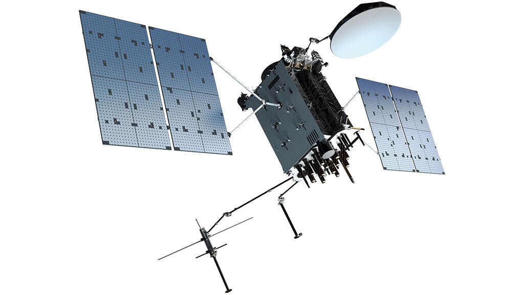
Now in its seventh iteration of spacecraft design, GPS remains the most used and relied upon among the several systems now providing space-based position, navigation and timing.

View graphic timeline here at AVIATION WEEK NETWORK


What Can YOU Do? How Can YOU Help?

PNT is the quiet backbone of everything but too many leaders still don’t see the risk.

But you do. You understand the systems, the dependencies, the failure chains. That insight is rare — and it’s exactly what your country needs right now. Contact your government leaders and industry decision-makers and tell them resilient PNT isn’t a feature — it’s the foundation everything else depends on.

Start the Conversation

Use our Resilient PNT Key Talking Points to make the case.

U.S. Advocates

Find your representatives at Congress.gov, then use our email template to reach them in minutes.

When you get a response, let us know. Every conversation strengthens the mission.

More PNT News

Starlink Ending User Access to Location Data – Inside GNSS

Starlink Ending User Access to Location Data – Inside GNSS

Image: Hidden TTY on Reddit What's new: Starlink announced it will no longer allow users to access location information on their terminals. Why it's important: Some users were able to use that information to navigate in GNSS denied environments. What else to know:...

Senior Job Open at DOT, Cambridge – Oversees PNT & Infrastructure

Senior Job Open at DOT, Cambridge – Oversees PNT & Infrastructure

Image: DOT Volpe Center What's new: The John A. Volpe National Transportation Center in Cambridge, MA, is seeking a Director to lead the Center for Infrastructure Systems and Technology within the Office of the Assistant Secretary for Research and Technology (OST-R)....

ICAO  Cites Threats to Civil Aircraft fm GNSS Disruption – again

ICAO Cites Threats to Civil Aircraft fm GNSS Disruption – again

Image: Youtube - Fatal Azerbaijan Air crash after being shot at by Russian forces due to GPS jamming and no ADS-B identification What's new: The Secretary General of the International Civil Aviation Organization addressed the World Overflight Risk Conference in...

UK MOD moving on eLoran

UK MOD moving on eLoran

Image: Copilot AI What's new: We understand the UK Ministry of Defence (MOD) recently awarded a contract to a UK-led team to create a deployable PNT solution based on eLoran to be delivered over the next two years. The intent is that, once delivered, the system can be...

Get PNT News in Your Inbox