Blog Editor’s Note: This article was written by RNTF President Dana A. Goward with input from several well informed members. Thanks to all who contributed!

Report: Russian Navy Gets New Precision Terrestrial System to Backup GPS/GLONASS


According to a news report, “Sprut-N1 [a] new-generation precision navigation radio system (RNS) has been created for the Russian Navy. It will determine geographic location, speed and altitude with a precision superior to that of GLONASS and GPS. The coordinates are determined by ground stations of the system which transmit coded signals to warships and aircraft. The main advantage against satellite navigation is that the signal of the high-tech system cannot be jammed, the Izvestia daily writes.”
While this report on navyrecognition.com says the Russian news services Tass and Izvestia carried this story, our searches of the sites of both services were unable to discover an original version. This could be due to it being available only in the Russian language version, or that the story has already been taken down.
 Tooltip Text
The article provides a reasonable amount of information, though it says that specifications of the system are classified. Also, some or much of what is provided may be suspect. We consulted with several terrestrial and maritime navigation experts for their thoughts on some of the intriguing details in this announcement. Excerpts from the navyrecognition.com posting are below, with the responses and analysis of our experts in italics.
The Russian Defense Ministry said …”the equipment for the system will be delivered to a fleet for test operation in 2019. At the first stage RNS will cover the Russian territory and adjacent waters. Two ground stations will be deployed.”
- Only two stations indicates that they are using a third source. Two lines of position give an estimated position, but three are needed for a fix. Perhaps a clock is involved, or in this early phase they are incorporating GNSS signals in navigation solutions.
- In 2015 the Russians met with the British to align their Chayka (Loran) system with the new British eLoran standard. They subsequently announced that they would upgrade to “eChayka.” This account could refer to a new name for upgraded Chayka stations. These stations could easily be used with the legacy stations to determine location with much greater precision. Also, the initial focus on maritime is very consistent with Chayka traditionally being viewed as a maritime asset, though it has clearly been used in other applications.

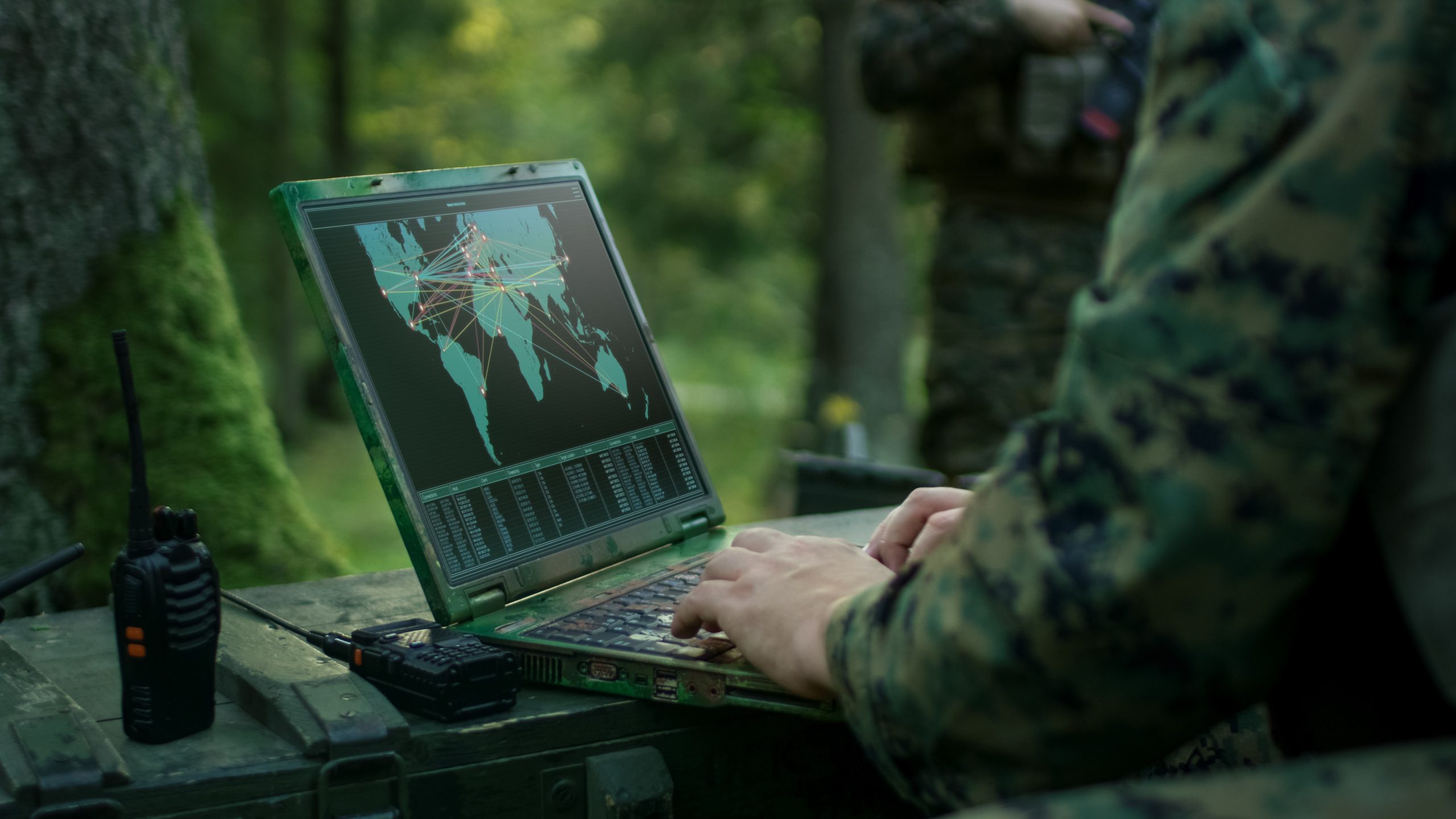
Photo courtesy of the RNT Foundation.
The article also describes Sprut-N1 as “broadband” and exceeding “… foreign analogues in precision. It comprises several ground stations to monitor and issue commands to a warship or aircraft, as well as a receiver and computer. The system boasts excellent capabilities in data transmission speed and signal protection. The exact technical parameters are a secret. The construction of two transmitting stations will cost the Navy 190 million rubles…”
- A broadband solution is a possibility, but would require many, many transmitters and be very expensive. Also, it would have to be at much higher power than is normally allowed, though the Russian military might not have any trouble getting that approved. Also, broadband signals would not penetrate nearly as well as Chayka, so they would sacrifice “indoors” and, more significantly for the Navy, sub-surface reception. Building the system would seem to take much more than the $2.89M described quoted. The “broadband” mention could be intentionally misleading.
- The money described sounds about right for modifying two legacy Chayka stations to transmit much more accurate, precise eChayka-like signals.
“Sprut-N1 will be interfaced with GLONASS to become its ground standby. The RNS will provide adjustments to increase the precision of coordinates. Such integration will upgrade the Russian global navigational satellite system. Sprut-N1 will increase navigational information provision to warships, airplanes and helicopters. Civilian customers will be allowed to use it in future.”
- Taking a holistic approach to PNT by integrating space and ground capabilities has long been advocated by experts in the United States and the United Kingdom. Dean Cheng from the Heritage Institute testified at the Vice President’s National Space Council that the U.S. should take a more holistic and integrated approach to PNT as China has done.
- I noticed the mention of this being a multi-modal system for use by ships and airplanes. Aviation industry observers in the United States have commented that having a single system to backup and complement GPS would be much more efficient in the long run, saving hundreds of millions of dollars, over maintaining the thousands of aviation-only ground beacons now in use. It will be interesting to see how this develops and is used in Russian aviation.
- Allowing civilians to access the system in the future will provide a huge resilience and economic advantage to the Russian economy and population over those in Europe, the United States and elsewhere.
“The integration of ground and space navigational systems will create in Russia a single protected positioning system. The designers worked to provide complete protection against various disturbances. Research produced new algorithms and technical solutions for signal reception…
…The Russian armed forces are actively reinforcing the borders. This year Resonans-N mobile radar with artificial intellect elements will be deployed in the Arctic. It can detect cruise missiles and drones at a distance of a thousand kilometers. The technology is specifically important for the Arctic from where the potential adversary can strike at the Urals, Siberia and Central Russia, the Izvestiasaid.”
- While GLONASS works better in the Arctic than GPS, I understand that neither are optimized for that region. The mention of the Arctic here is significant.
- The Russian meeting in 2015 with British maritime navigation authorities took place in the background of Russia focusing on navigation along the Northern Sea Route through its Arctic waters. This was mentioned as part of the reason for upgrading to eChayka.
- Russia has reportedly been particularly active jamming and spoofing GPS in its maritime regions and along its northern border with Norway. This new system could provide additional protection for their forces should western militaries elect to jam GLONASS in return.
- Following-on to the above comment, this clearly establishes a strategic advantage which Russia can use to intimidate others and pursue its regional agenda.