Image: MS Emily Goward-Redden
What’s New: An interesting discussion of more resilient u-Blox receivers and eLoran in the context of European PNT needs.
Why It’s Important: While the EU and US have done some science experiments, the UK is the only western nation we are aware of that has established and embarked on a holistic plan to ensure it has PNT.
What Else to Know:
- This article may well have been written before the UK published its ten-point PNT action plan.
- The author says the only remaining operating Loran/eLoran transmitter is at Anthorn, UK. Note that he says that in the context of Europe. Opening the aperture a bit:
- China has a very robust eLoran system it has recently upgraded to ensure 100% national coverage, even in the Tibetan Plateau, as sparsely populated area of nearly million square miles with elevations from 4,900ft, to 15,000ft.
- Russia’s Chyaka system is Loran-C and is alive and well serving the western, eastern, and artic portions of the country
- South Korea has an eLoran system that is part of its integrated PNT architecture
- Saudi Arabia is upgrading its Loran-C system to eLoran.
- In the U.S. the Department of Transportation has opined that, for security and resilience, the nation needs PNT signals from space, terrestrial broadcast, and fiber.
![]()
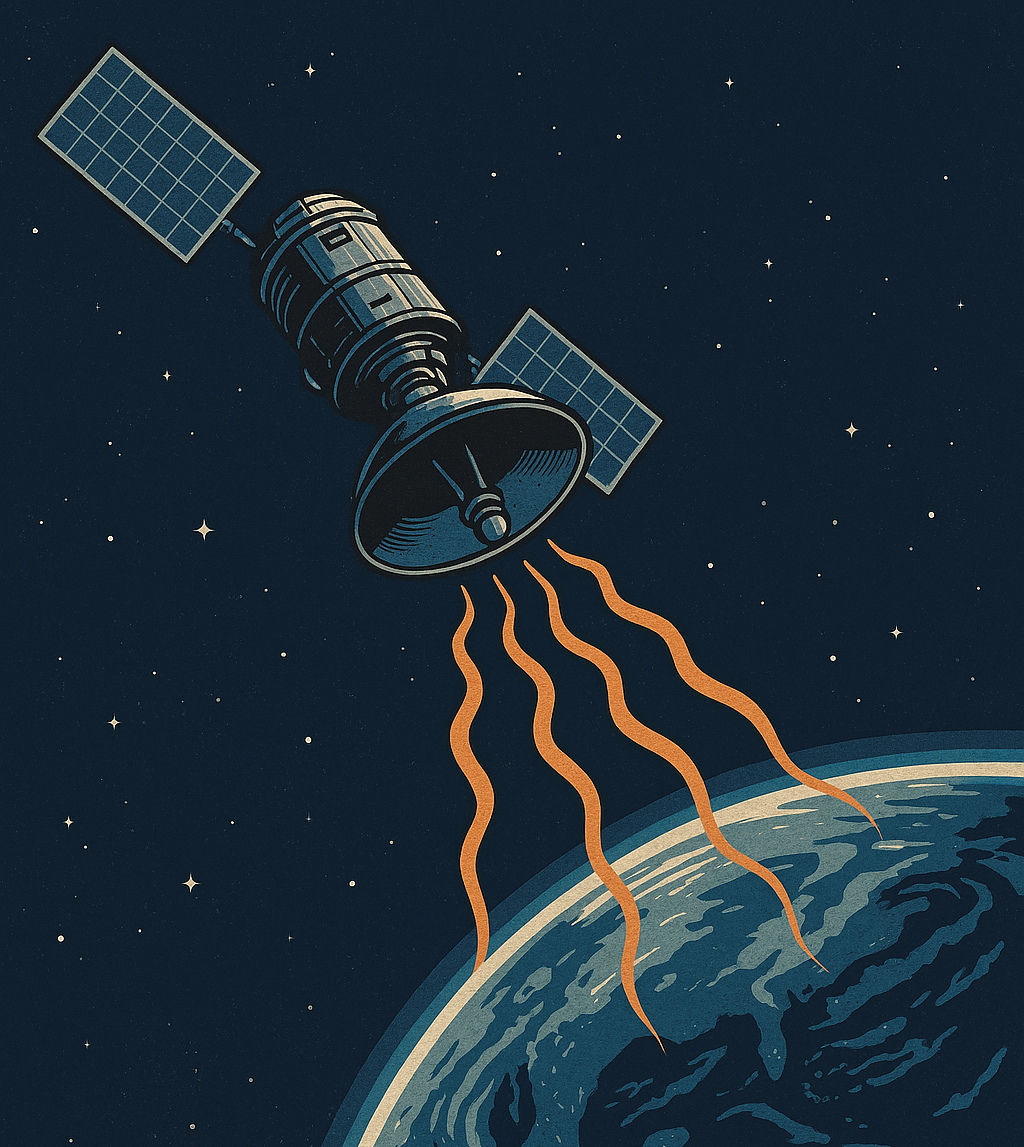
Are We Over-Dependent on GNSS?
eLORAN never saw commercial deployment, but against the backdrop of global uncertainties and GNSS vulnerabilities, it offers a viable alternative to satellite-based PNT.
Our dependence on global navigation satellite systems (GNSS) is staggering. Every day, we rely on the constellations of satellites in mid-Earth orbit to navigate, whether hiking in the Alps or finding our way to a meeting. Ships, airplanes and virtually every other transportation type use GNSS to determine their position accurately. For every GNSS use case you regularly use, there are 10 others you may not be aware of, such as utility infrastructure, telecommunications networks and financial transactions.
The U.S. led the way with the first GNSS, with its global positioning system (GPS). Initially only for military use, access to GPS with a degraded accuracy (selective availability) became public in the mid-1980s. With the removal of selective availability, full public access became available in May 2000. Since then, four other GNSS constellations are now fully operational: Beidou (China), Galileo (EU), QZSS (Japan) and GLONASS (Russia).
The success of GNSS has established its use for a wide range of positioning, navigation and timing (PNT) applications. While most of us might use GNSS for positioning and navigation purposes, many use cases depend on the ease of availability of the highly accurate clock signals that the satellites provide. Examples include financial transactions, telecommunications infrastructure and utility distribution grid control.