Image: Shutterstock
Blog Editor’s Note: The authors are President and Chairman of the Board of the RNT Foundation.

Defending Taiwan by countering China’s biggest threat
Dana A. Goward is president of the Resilient Navigation & Timing Foundation. Martin C. Faga was assistant secretary of the U.S. Air Force and director of the National Reconnaissance Office from 1989-1993.
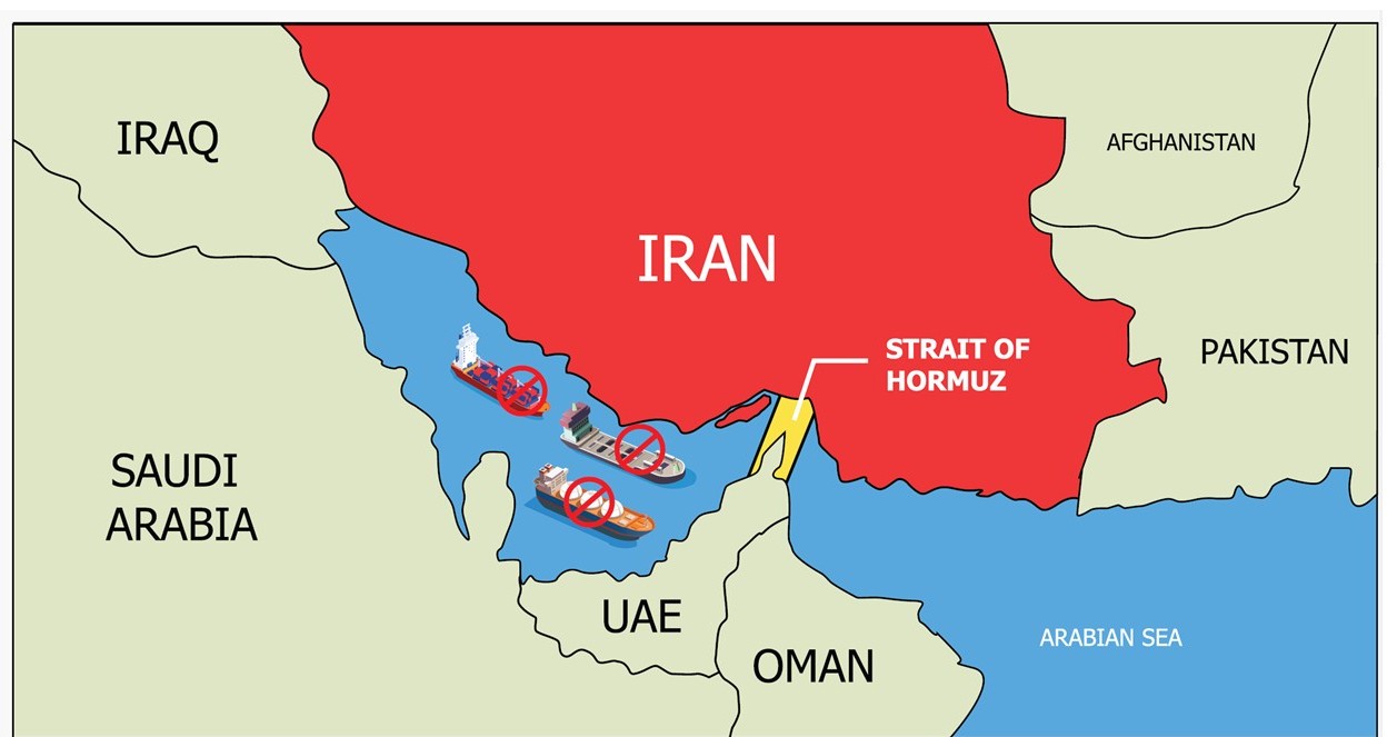
In a recent opinion piece for SpaceNews, Brian Chow and Brandon Kelly expressed valid concerns about America’s lack of resilience in space and potentially dire consequences. They rightly observed that in a conflict such as an attempted invasion of Taiwan, China would almost certainly threaten or attack GPS.
Just the threat of an attack on GPS could be enough to deter America from defending Taiwan, according to some analysts. Loss of GPS would result in a profound degradation of America’s military strike capabilities and severe economic and societal disruption to the U.S. homeland. Should an attack on GPS be carried through, the subsequent shooting war would be incredibly damaging for both sides and run the real risk of a nuclear exchange. All outcomes are dire.
We agree with Chow and Kelly’s assertion that the U.S. military must increase space resilience by including more proliferated space systems for navigation and timing as quickly as possible. Adopting proliferated space systems, while necessary, is not sufficient to ensure the parity needed for long-term regional stability.
While significant, China’s burgeoning rendezvous and proximity operations (RPO) capability and other anti-satellite capabilities are not their biggest threat to GPS.
What should be much more of a concern to policymakers is that China relies far less on space for critical GPS-like services than we do.
China’s navigation warfare and defense strategy includes both space-based and terrestrial positioning, navigation, and timing (PNT) systems. Its terrestrial PNT broadcast network covers up to 1,000 miles offshore, including the Straits of Taiwan and hundreds of miles of approaches from the east. The space and terrestrial components of China’s PNT architecture can operate in concert or as stand-alone systems.

So, even when its multiple space-based assets are unavailable, China’s military and economy still have essential PNT services.
This means that China can damage GPS satellites or deny GPS signals while suffering far fewer impacts from an attack on its space-based assets by the United States.
Eliminating this strategic imbalance must be a key part of deterring a Chinese invasion of Taiwan.
Fortunately, the beginnings of an allied terrestrial PNT broadcast network already exist in the region. One that can work in concert with GPS or support military vehicles and weapons systems on its own.
South Korea has long maintained a Loran terrestrial broadcast PNT system. For years, it could only provide services by cooperating with adjacent Chinese and Russian broadcasting sites. After experiencing GPS jamming from North Korea, South Korea upgraded its system from Loran-C to eLoran standard. The transition enables it to operate in conjunction with similar Chinese and Russian transmitters or as a stand-alone, sovereign South Korean capability.
Despite impressive 1,000 nautical mile ranges for the transmitters, the geometry of the South Korean sites limits their service area to the southern peninsula and its coastal waters. However, the South Korean system will be an excellent northern anchor for a much more extensive regional system. A network that includes transmitters hosted by partners who share an interest in regional stability and in containing China’s overreaching ambitions.

Nations hosting transmitters will also benefit by gaining a sovereign source of wireless precise timing signals that can be used for domestic economic development. And they could follow South Korea’s example and build additional transmitters for an entirely sovereign PNT capability.
If the U.S. was foresighted, interface and user equipment could be made available and sold so these sovereign systems could be seamlessly integrated with signals from GPS, thereby reinforcing America’s presence in the region.
There are no silver bullets in the competition between great powers, and no effort is as easy as it might first seem. For example, in addition to establishing a terrestrial network, its signals must be incorporated into legacy military platforms. While the Department of Defense’s approach to modular open systems architectures for PNT will help, the task will still be a significant one.
Yet, delay would place the U.S. and our allies even further behind China and further increase the risk of armed conflict. We must act quickly to improve U.S. and allied forces’ ability to maneuver in the region and eliminate a strategic inequity that could be a root cause of conflict that spirals out of control.