Image: RNT Foundation
Blog Editor’s Note: Another article about Russia using its version of eLoran in areas where GNSS is jammed or is likely to be jammed.
Ukraine is certainly one of those places. We have seen reports of localized jamming by Russian troops in an effort to protect themselves from GPS-guided weapons, and other reports of more extensive jamming that is disrupting signals for air traffic in northern Europe.
Always good to have options, especially when it comes to essential PNT. Too bad its the Russians, Chinese, and Iranians who have the options in this case. Not the U.S. and NATO.
——— We have been asked to note the depiction of Chyaka/Loran coverage in the below article is incorrect. a more accurate depiction, based on official Russian sources, is in the image at the head of this post.
![]()
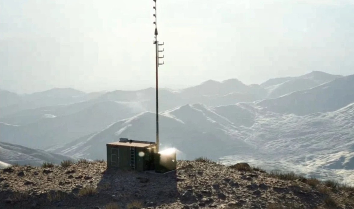
Chayka Compensates?
Russia maybe using her Chayka radio navigation system to outflank GNSS jamming in the Ukraine theatre of operations.
Russia’s RSDN-10 Chayka system is like the erstwhile LORAN-C radio navigation architecture. LORAN used a global network of transmitters, mainly located on coastlines. It exploited an elegantly simple principle. All radio waves travel at 161,595 knots-per-second (299,274 kilometres-per-second), the speed of light. LORAN stations work in pairs. Maps showed where stations were located and the distance between them. Each station transmitted a single radio pulse every half second on a frequency of 100KHz. If a ship or aircraft was exactly midway between both LORAN transmitters, the pulses from each arrived at the same time. If the ship or aircraft was closer to one, it received pulses from the nearest transmitter slightly earlier than pulses from the farthest one. By calculating the time lag between these two pulses, you could calculate your position relative to the transmitters.