Blog Editor’s Note: We have heard conflicting reports about GPS effectiveness at high latitudes. Also that Russia’s GLONASS satnav system is specifically designed to provide good coverage to the Arctic. This makes sense as the Arctic is a big area of investment and concern for Russia, and they have the most Arctic territory and territorial sea of any nation, by far.
4 Sep Update – Just received this note from respected navigator Dag Pike: “With reference to your article about potential problems with GPS in the Arctic I have recently spent 5 days navigating in the waters of Svalbard at around 79 degrees north and found the GPS worked fine. A fix taken at an anchorage showed only the normal very small deviations from the position that would would expect from the boat swinging at anchor. Perhaps the authors of the article are talking about very high accuracy levels but for normal navigation no problems were found.”
AllAboutCircuits.com
The Limits of Satellite Navigation: GPS Challenges in the Arctic
Note: This article was updated on August 7th to correct some inaccuracies and better characterize the reliability of GPS navigation in the Arctic.
Wherever you are likely reading this from, you can probably take for granted that you can use the Global Positioning System (GPS), probably even on your phone, to map out directions to a nearby destination.
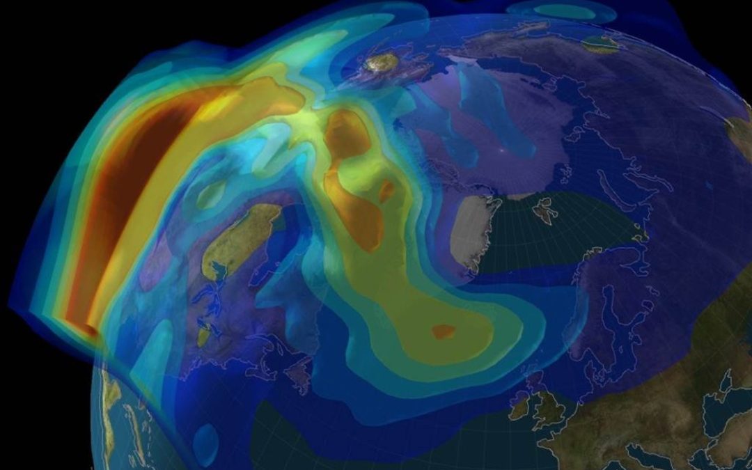
However, GPS is not quite as global as its name suggests—the technology is unreliable in the Arctic, an area on Earth that is slowly seeing more human activity due to tourism, research, and industry. As the ice recedes in the Arctic, the region may also become a more common passageway for ships. Accurate navigation is important in the Arctic for all of these situations, made especially crucial by the negative impacts accidents could have on the environment and the difficulty of rescue missions in the case of emergencies.


