Reuters Article carried by the New York Times, Wall Street Journal and others.
Editor’s Note: A good article from Jonathan Saul below. For those new to the topic a couple points of clarification may be warranted:
- The focus of this article is maritime, though the most critical use of GPS is for timing and synchronizing networks – telecommunications, computers, financial systems, etc. All rely upon the very faint signals from space. This is why the US Department of Homeland Security has called GPS “… a single point of failure for critical infrastructure.”
- Russia has a Loran/Chayka system in operation right now, so they have a timing signal available if and when space signals are disrupted. This article is correct that they have not yet gone to the advanced eLoran/eChayka standard, nor have they expanded their system’s coverage to their Arctic coastal waters. That will take some investment. Note also that China has a Loran system so they do not have to rely as much as the US on signals from space for timing and location.
- Cost is always a big issue, as mentioned in the article. One suggestion that has gotten traction in some parts of the US Congress is establishing an eLoran system through a public-private-partnership. This could make eLoran a revenue source for the government, rather than a cost. The government could:
- Advertise for a commercial entity to provide eLoran signals as a service
- Pledge to allow use of the frequency and idle government transmitter sites
- Require that, in return for an annual govt subscription fee, a basic level of timing and navigation service be provided to all without charge
- Allow the commercial entity to use the facilities and frequency to generated income from value added services
- Require that the government receive a share of the revenue from the value added services. From projections we have seen, we are confident that the government’s revenue would far exceed its small subscription cost.
Bottom line – this is an important, though reasonably easy, problem for governments to solve, once they have the focus and political will. DG
Cyber threats prompt return of radio for ship navigation
LONDON (Reuters) – The risk of cyber attacks targeting ships’ satellite navigation is pushing nations to delve back through history and develop back-up systems with roots in World War Two radio technology.
Ships use GPS (Global Positioning System) and other similar devices that rely on sending and receiving satellite signals, which many experts say are vulnerable to jamming by hackers.
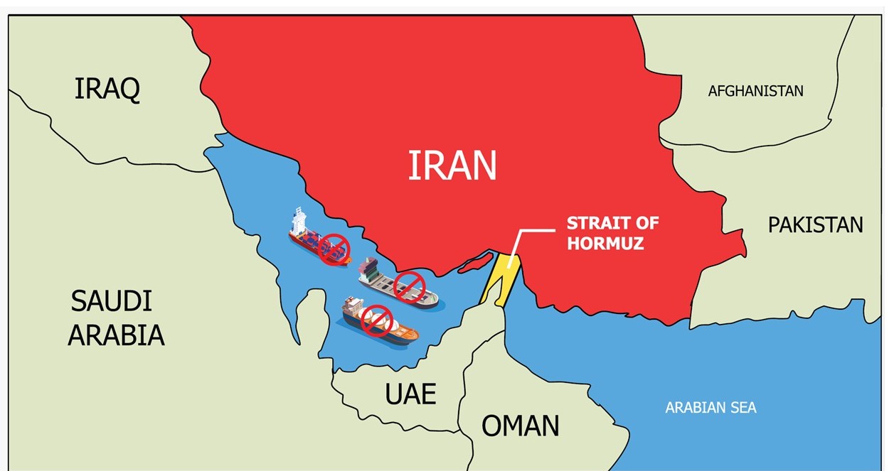
About 90 percent of world trade is transported by sea and the stakes are high in increasingly crowded shipping lanes. Unlike aircraft, ships lack a back-up navigation system and if their GPS ceases to function, they risk running aground or colliding with other vessels.
South Korea is developing an alternative system using an earth-based navigation technology known as eLoran, while the United States is planning to follow suit. Britain and Russia have also explored adopting versions of the technology, which works on radio signals.
The drive follows a series of disruptions to shipping navigation systems in recent months and years. It was not clear if they involved deliberate attacks; navigation specialists say solar weather effects can also lead to satellite signal loss.
Last year, South Korea said hundreds of fishing vessels had returned early to port after their GPS signals were jammed by hackers from North Korea, which denied responsibility.
In June this year, a ship in the Black Sea reported to the U.S. Coast Guard Navigation Center that its GPS system had been disrupted and that over 20 ships in the same area had been similarly affected.
U.S. Coast Guard officials also said interference with ships’ GPS disrupted operations at a port for several hours in 2014 and at another terminal in 2015. It did not name the ports.